Our departure is getting closer and hence we are getting a bit of a more reliable picture on the weather forecast. Weather conditions are the most relevant factor next to the planes specifications and equipment and the pilots skills. If a flight is safe and doable depends on the weather, the airplane instrumentation and de-icing capabilities and the destination airport equipment. Some airports are equiped with instrument landing systems which allow approaches also with low visibilty. Others are not and hence certain minimums (e.g. cloud ceiling) must be fulfilled in order to make a save approach.
Besides the visibility, winds and icing are other factors to be considered before making a decision on if and where to fly. Strong winds not only have an impact on the flight duration (which can vary significantly and with that also the maximum distance we can fly) but also are a key factor defining if a safe landing is possible or not, as planes do have limits for cross-wind (wind from the side) landings.
Dense fog but also strong gusts, low clouds and icing can become show-stoppers (or crash reasons) and hence reliable forecast are important. Thats especially the case when flying to remote areas like Greenland with very limited airport density (hence less alternates).
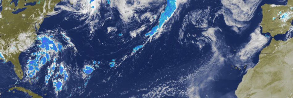
While we are enjoying an exceptionally long and warm late-summer here in Europe, the weather on our route differs quite a bit. At the moment it looks as follows:
Prestwick (Schotland) reports heavy rain, clouds and a maximum of 12C on the ground for our arrival.
Reykjavik (Iceland) predicts pretty decent weather (unusual for the season) with light rain, some clouds and temperatures between 2 and 12C on the ground.
So far so good. Things start to become more interesting in Greenland: The airport weather report for today looks as follows:
TAF: BGGH 162021Z 1621/1701 17008KT 9999 FEW006 SCT025 TEMPO 1621/1624 0800 SHSN BKN005 SCT025TCU
The so called TAF (Terminal Aerodrome Forecast) is a weather report issued by the airport on a regular basis. Above reads as follws:
BGGH = Airport Code (Nuuk, Greenland)
162021Z = The date and time the report has been issued
1621/1701 = The report is valid from the 16th 21:00 (time) until the 17th 01:00 (United Time)
17008KT = Wind with 8kts from the South (170 degrees at 08 KT)
9999 = Current view is 10km or more (horizontal)
FEW006 = Few clouds at 600ft (which is rather low)
SCT025 = Scattered sky at 2500ft
So far thats the actual weather – which is totally flyable. Now comes the forecast:
TEMPO 1621/1624 = Temporary between on the 16th (date) between 21:00 UTC and 24:00 UTC
And here it gets interesting:
0800 = Vertical view 800m (not a lot anymore)
SHSN = Showers of Snow
BKN005 = Broken Clouds (some open areas) in 500ft (very low)
SCT025TCU = Scattered Clouds in 2500ft with towering cumulus (high reaching clouds)
This weather in combination with a pretty challenging terrain and the lack of alternate airports closeby would already make this a very difficult decision. Luckily we are still a fews days away from Greenland and things might clear up until then.

